


GPR Takes a Flood-Damaged Pier From Steer Clear to Have No Fear
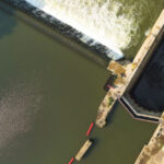
During the spring of 2017 in southern Quebec, Canada there was unprecedented rainfall and widespread flooding. Rivers in the Montreal area burst their banks and submerged entire communities. In one area, a pedestrian pier was completely submerged under three feet of water for two weeks.

Raging flood waters during the Spring of 2017.
After the flood waters subsided, there was visible damage to the pier. Several areas with interlocking brick walkways had collapsed, indicating the presence of voids. Inspection of the vertical walls of the pier also revealed cracks, further increasing concern that additional structural substrate had washed away. Local municipal officials were concerned that the pier may have had more voids that could collapse, causing injury to pedestrians. So, the municipality contracted a Quebec-based geophysical service-provider to scan the pier and report any problem areas.
The contractor for this job, CSDA member GEORADAR-Detection, Inc., had initially considered using electromagnetic induction to look for the voids. However, there were many metallic obstacles on the pier, including garbage cans and benches, that would interfere with the results. Instead, they decided to use Ground Penetrating Radar (GPR) since the results would not be impacted by these metallic objects.
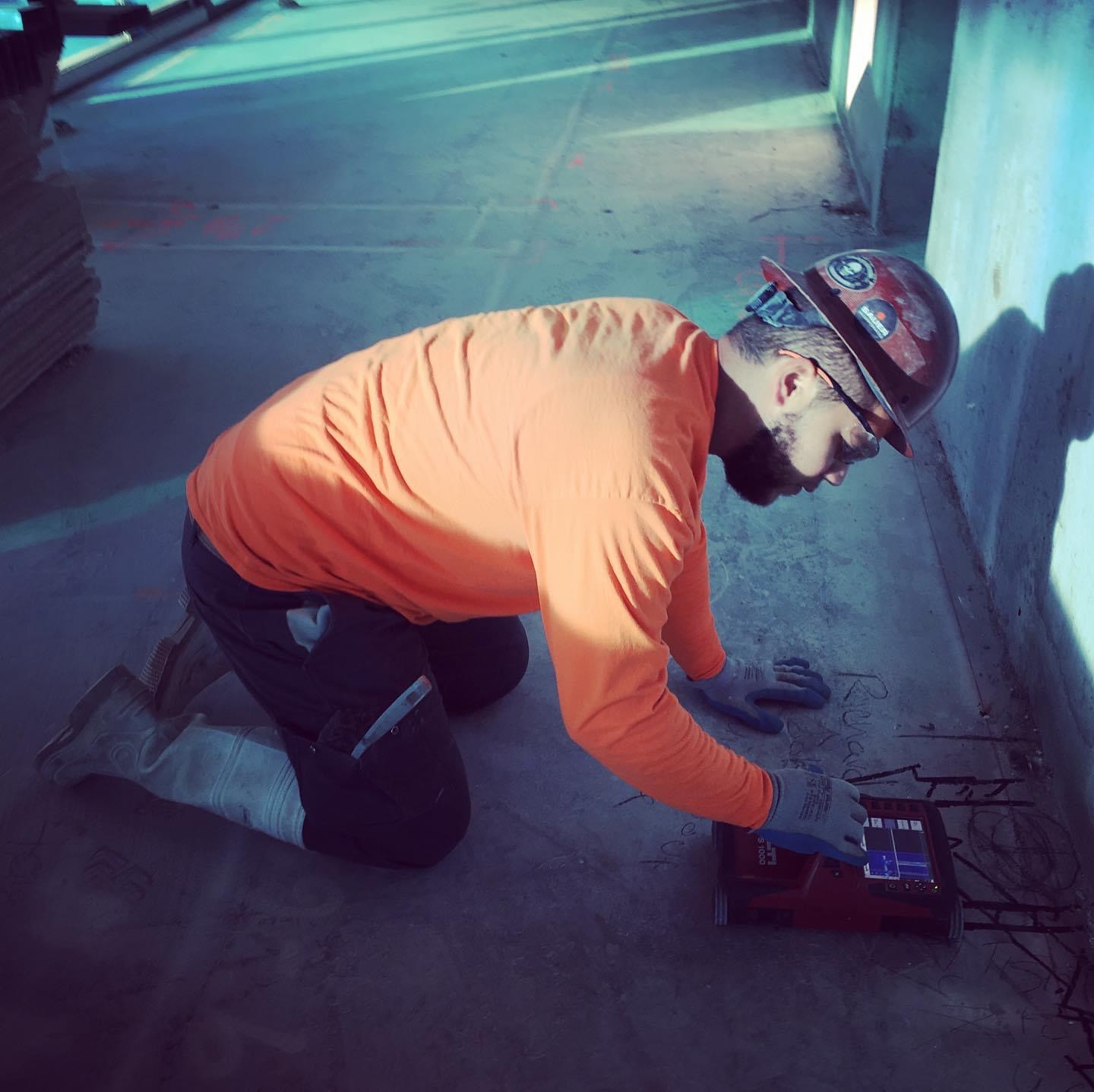
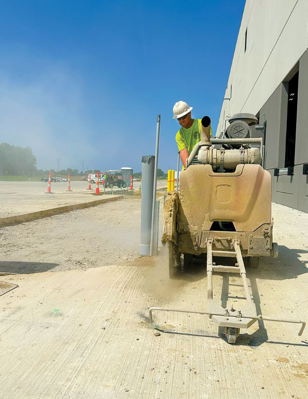
Given the odd shape of the pier and the many obstructions, collecting GPR data in an XY grid pattern proved to be quite difficult. So, the contractor decided against laying out grids, and instead collected data using GPS for positioning GPR data. They used the LMX200™ GPR tool by Sensors & Software to map and survey which allowed them to cover the full area of the pier much faster. Data was collected in a series of tightly spaced straight lines, using marks on the pavement to ensure consistent spacing, averaging about 18 inches (0.4 m) between the lines. With two technicians onsite, a total of 12,500 feet (2.4 miles or 3.8 km) of data was collected in just four hours.

GPR signals are stronger and penetrate deeper in areas with interlocking brick at the surface due to the lower electrical conductivity when compared to concrete.
Once data collection was complete, they used the new SliceView-Lines module in the EKKO Project™ GPR processing software from Sensors & Software to generate depth slices through the pier. The contractors knew that the large boulders below the surface, used as the main structural component for the pier, would not have been washed away by the floodwaters. However, there was concern that shallower parts of the pier underlain by finer sand and gravel could have been flushed away.

This 1-foot (0.3 m) depth slice shows already collapsed sections and additional areas with possible voids as strong GPR reflectors display in reds and yellows.
When reviewing the depth slices, high-amplitude GPR reflections can be an indication of voids. This occurs because air or water-filled voids provide a large contrast with the material above, creating a strong GPR reflection. Figure 3 shows the 1-foot (0.3 m) depth slice with strong reflectors in reds and yellows and weaker reflectors in blues and greens (the three areas that had already collapsed at the surface are indicated).
The GPR data showed some interesting phenomenon observed during the survey. For example, the deepest GPR penetration occurred on the parts of the pier covered with interlocking brick, while areas with concrete at the surface had much shallower penetration; this is seen in the GPR line in Figure 5. It is also shown by the strong (red) GPR signals on the 5.5-foot (1.7 m) depth slice in Figure 4.
These observations are not surprising as concrete has relatively high electrical conductivity and attenuates the GPR signal before it can travel to depth. The sand, gravel, cobbles, and boulders under the interlocking brick have much lower electrical conductivity, allowing for the GPR signal to travel much deeper before it is attenuated.
Based on the complete GPR scan of the pier, the service provider quickly identified the shallow areas with strong GPR reflections indicative of possible voiding and provided this in a report to the municipality. From the findings, the municipality targeted repairs to the key areas of concern on the pier. Where possible voids were identified within two feet of the surface, they removed the interlocking brick and added fill to fix the shallow voids. To address any risk of voids deeper in the structure, they injected concrete into the pier wall where the vertical cracks were visible.
By using GPR, the municipality quickly and cost-effectively assessed the internal damage done by the severe flooding and could take corrective actions before any injury to the public occurred.

The LMX200™ by Sensors & Software being used to collect 12,500 feet (3.8 km) of data on the damaged pier.
Company Profile
GEORADAR-Detection Inc. is a new member of CSDA this year (2018) and is based in Laval, Quebec, Canada. The company was founded 29 years ago. It has four employees and offers various services including concrete structure scanning, floor slab scanning, pipe inspection, re-bar corrosion mapping and others.
GPR Imaging Contractor
GEORADAR-Detection, Inc.
Laval, Quebec, Canada
Tel: (418) 262-1263
Email: info@georadar.ca
Website: www.georadar.ca/en/
Methods Used
GPR Imaging